Understandings
Understandings

Mapping Hayward
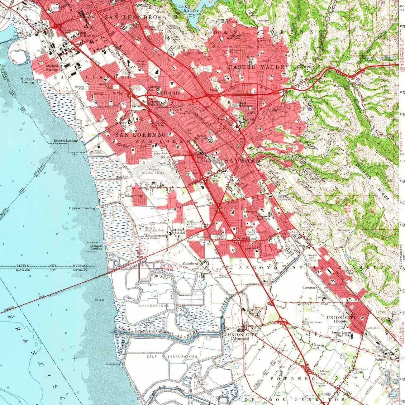
Hayward’s landscape has seen many changes over time—from seismic rumblings along the Hayward Fault, to land changing hands from the stewardship of the Muwekma Ohlone, to the Mexican ranchos, to the influx of fortune-seekers during the Gold Rush, to the dense urban center it is today. These maps from the late nineteenth century to the present day illustrate Hayward’s transformation from rural farmland into the “Heart of the Bay.”

The Birders of Hayward
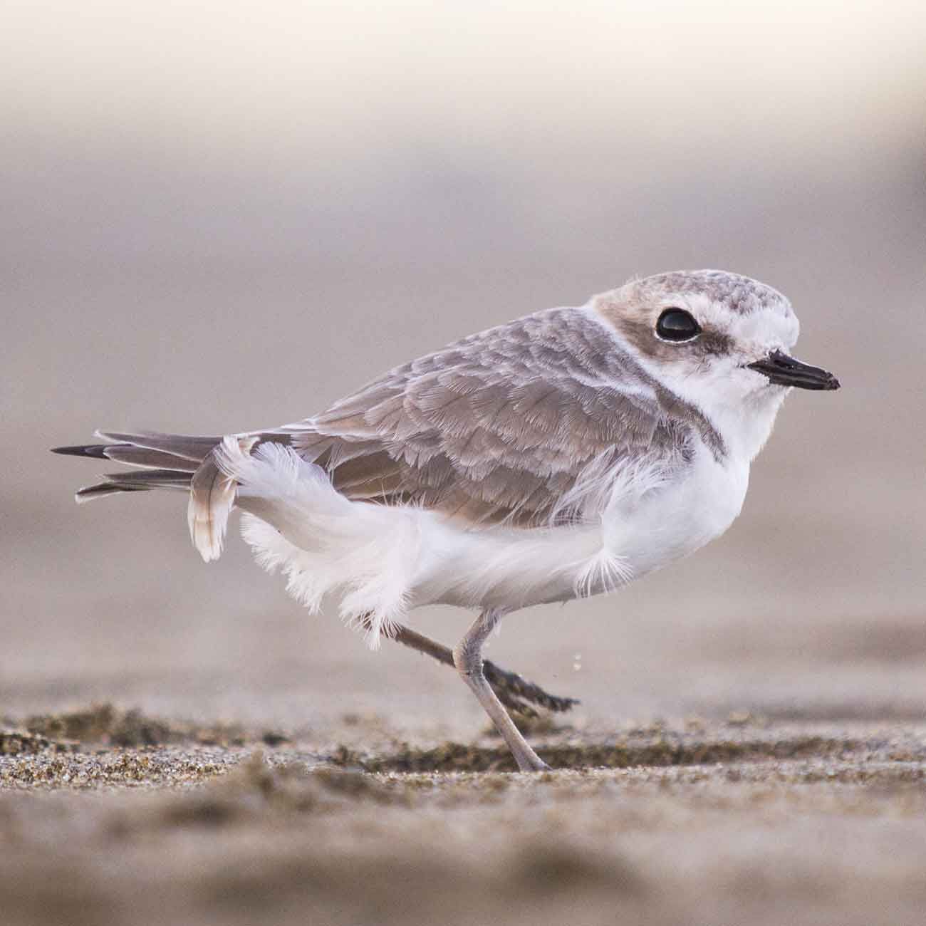
Hayward has been home to a veritable flock of bird experts over the past two centuries who have contributed to the appreciation, protection, and understanding of our winged neighbors. Members of the Cooper Ornithological Society—named after Hayward resident Dr. James G. Cooper—as well as other conservation groups have made important contributions in the education of the community and the restoration of vitally important natural habitats along the Pacific Flyway.

Protecting the Shoreline
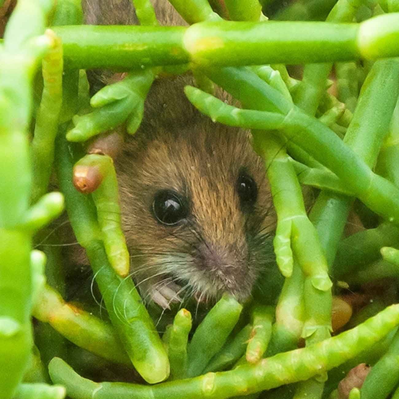
The wetlands along the Hayward Shoreline were all but destroyed after more than a century of salt production and other industrial activity. In 1970, a coalition of scientists, environmentalists, and passionate “citizen advisors” joined together to protect and restore this vital and unique ecological habitat. Through their tireless efforts, thousands of acres of salt- and freshwater tidal wetlands have been re-naturalized to benefit the many species that rely on this habitat for their survival.

Hayward Area Shoreline Environmental Education Project
In 1976, educators in the Hayward Unified School District published a “Teachers’ Curriculum Guide to the Hayward Shoreline.” The collective work of hundreds of individuals, the Teachers’ Curriculum Guide illuminates deep local knowledge of the Hayward shoreline.