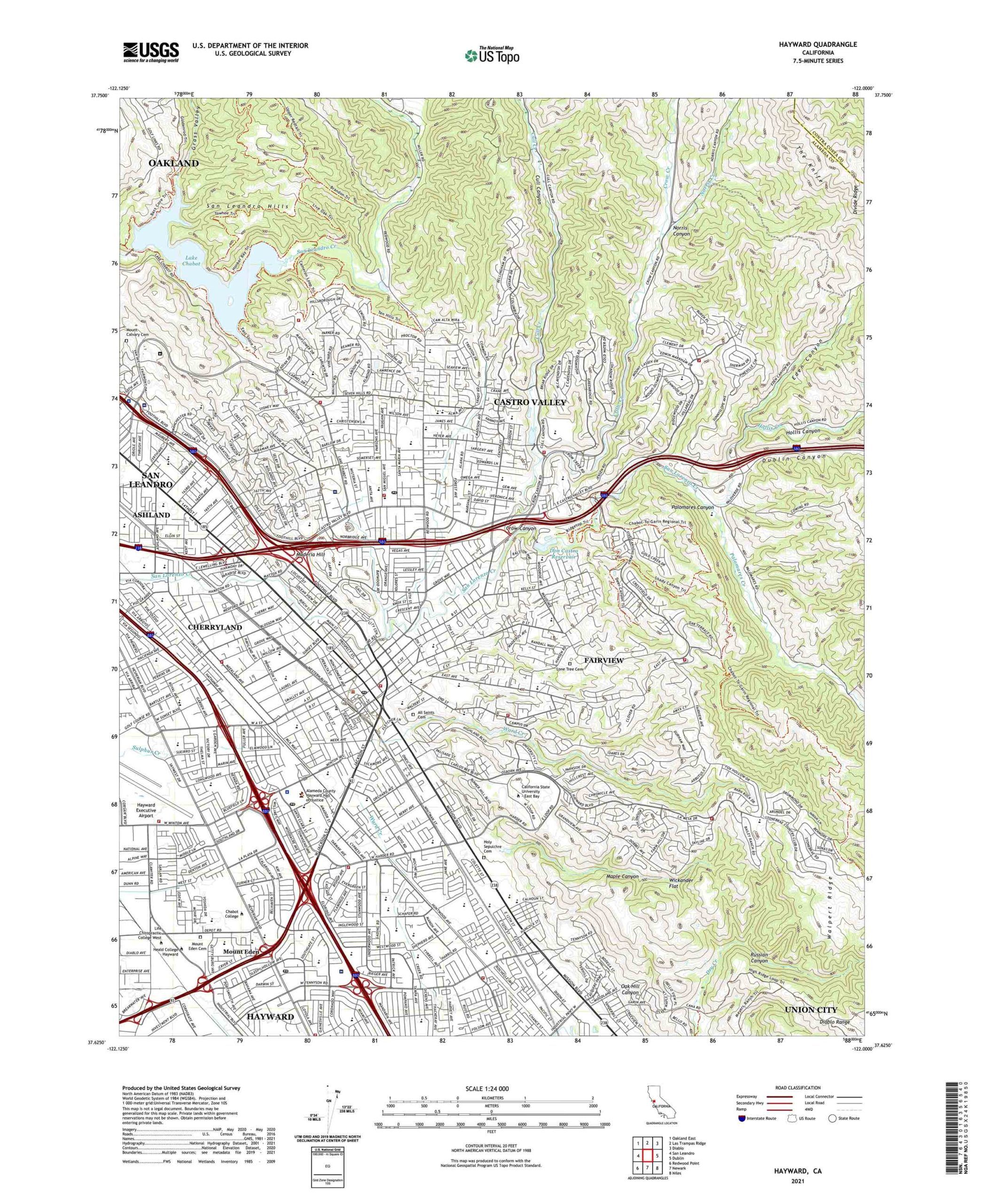
Mapping Hayward
Interactive Timeline
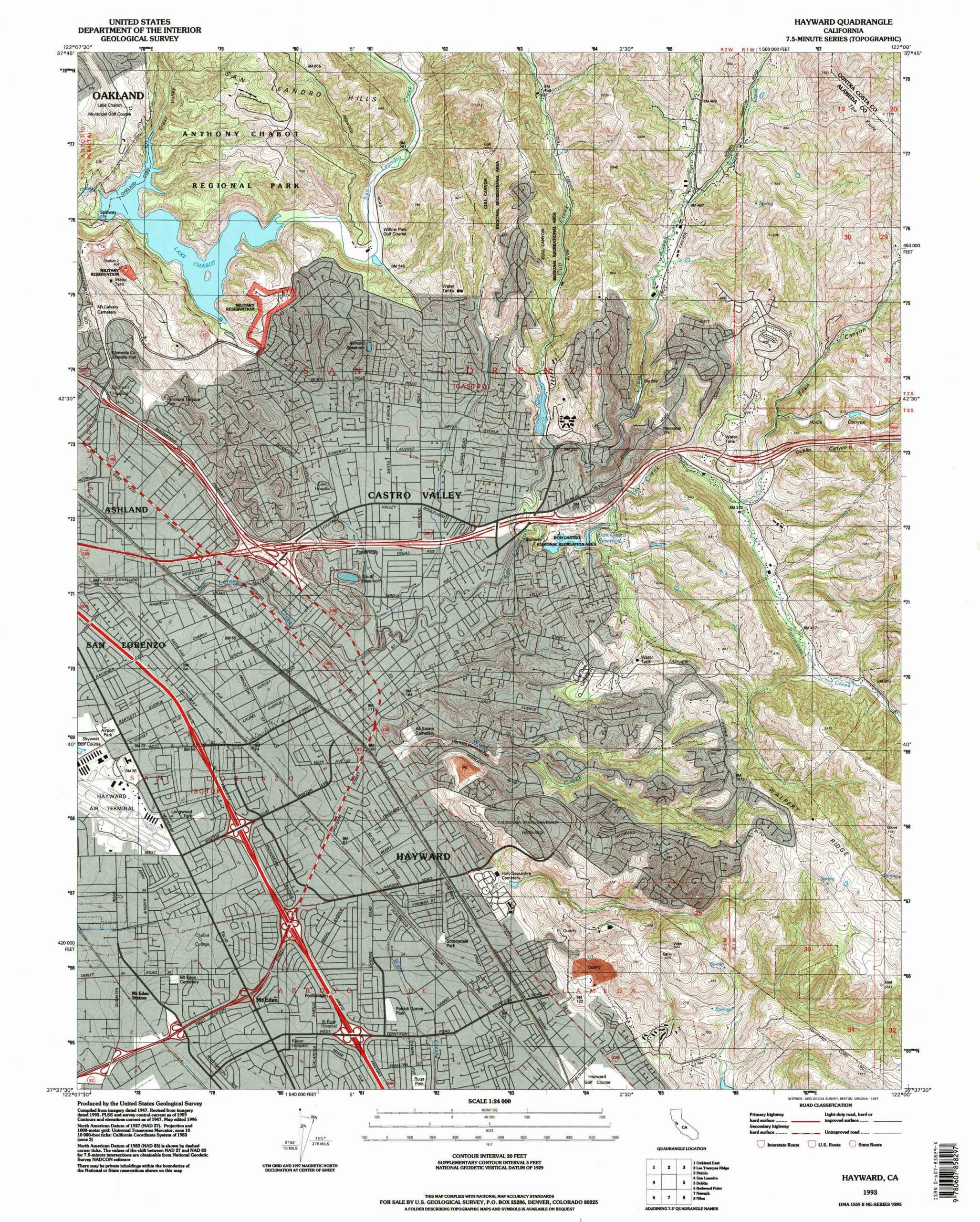
1993, US Geological Survey, California: Hayward Quadrangle
Citations
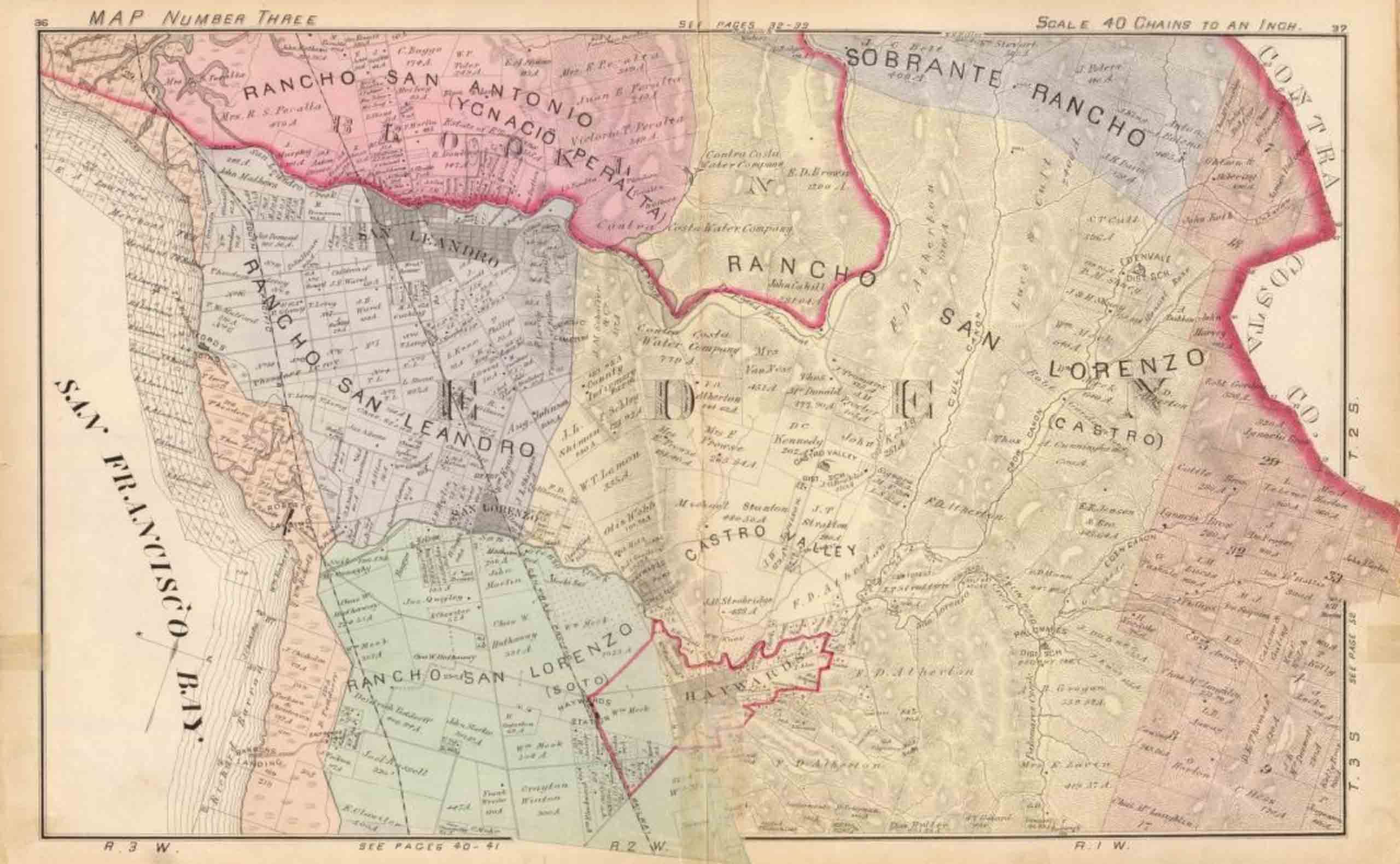
1 Alameda County Map Number Three. Scale 1 inch:40 chains. In Official and Historical Atlas Map of Alameda County, California. Oakland, CA: Thompson & West, 1878. David Rumsey Historical Map Collection.
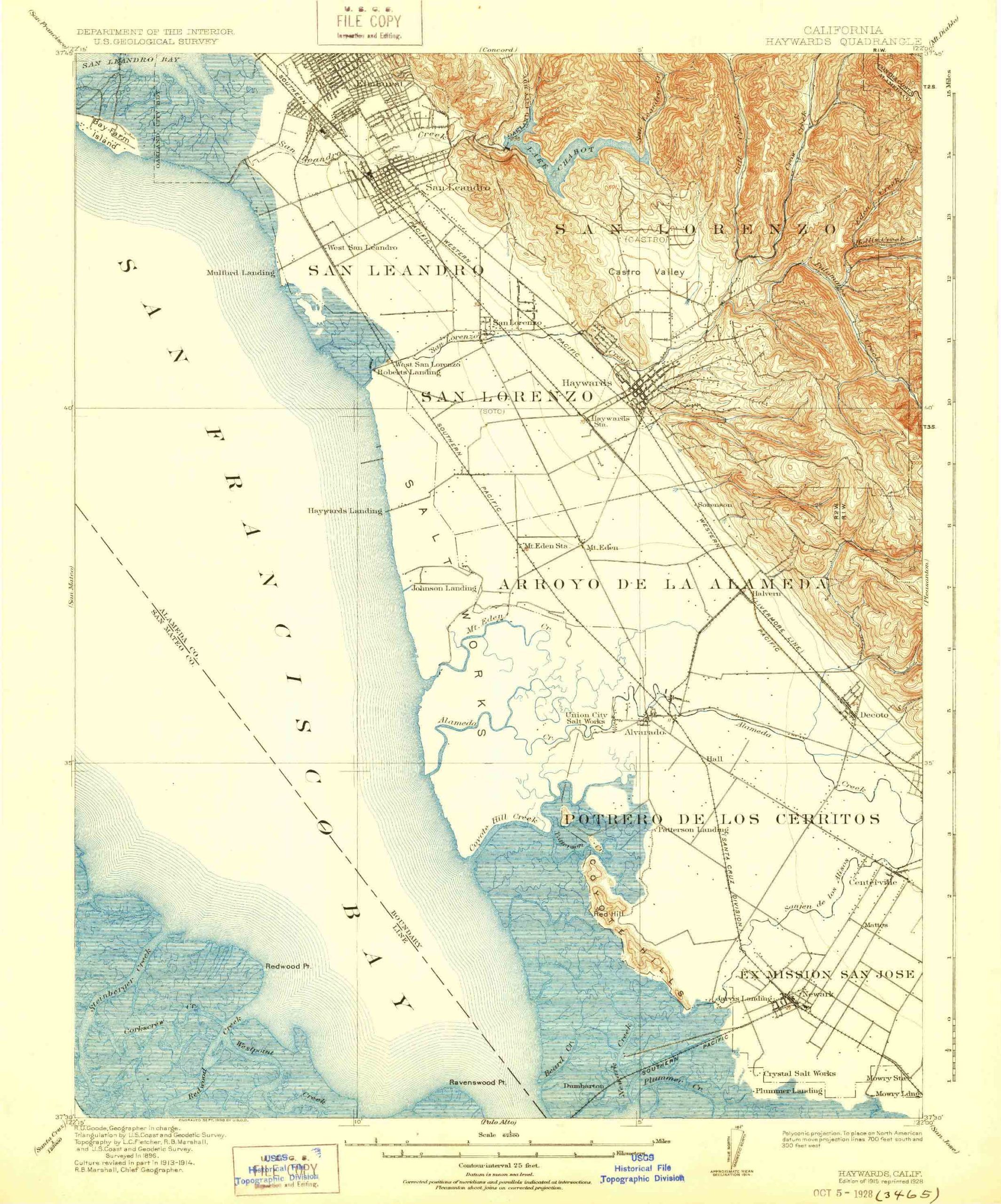
2 US Geological Survey. California: Hayward Quadrangle. 1:62500-scale. Oakland, CA: US Geological Survey, 1915.
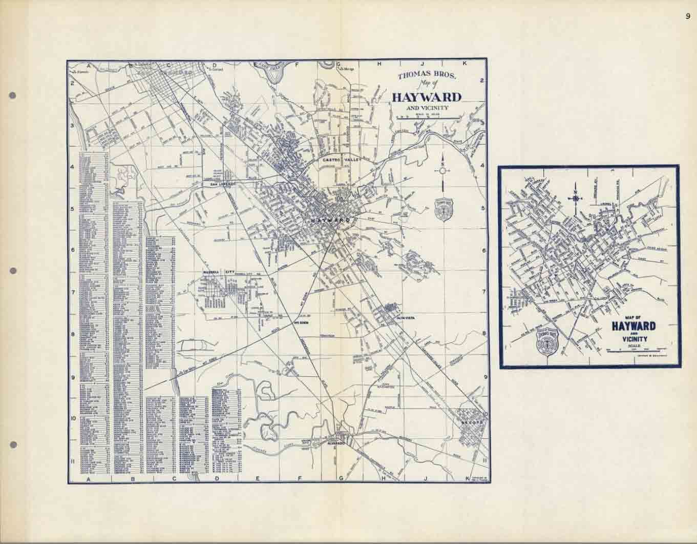
3 Thomas Brothers. Map of Hayward and Vicinity. Oakland, CA: Thomas Brothers, 1938. David Rumsey Historical Map Collection, David Rumsey Map Center, Stanford Libraries.
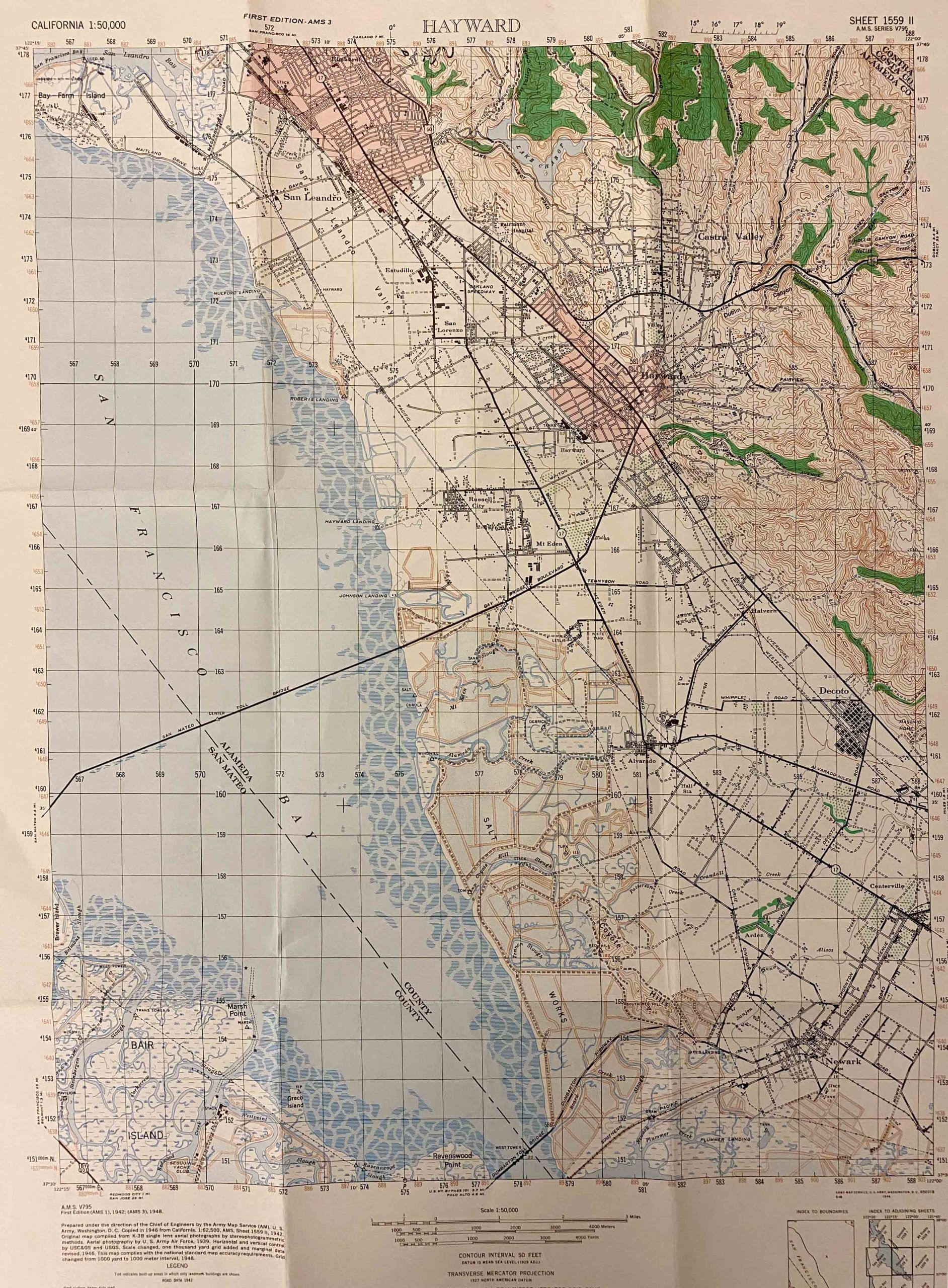
4 US Army Corps of Engineers. California: Hayward Quadrangle, Grid Zone “G.” 1:62500-scale. US Geological Survey, 1942.
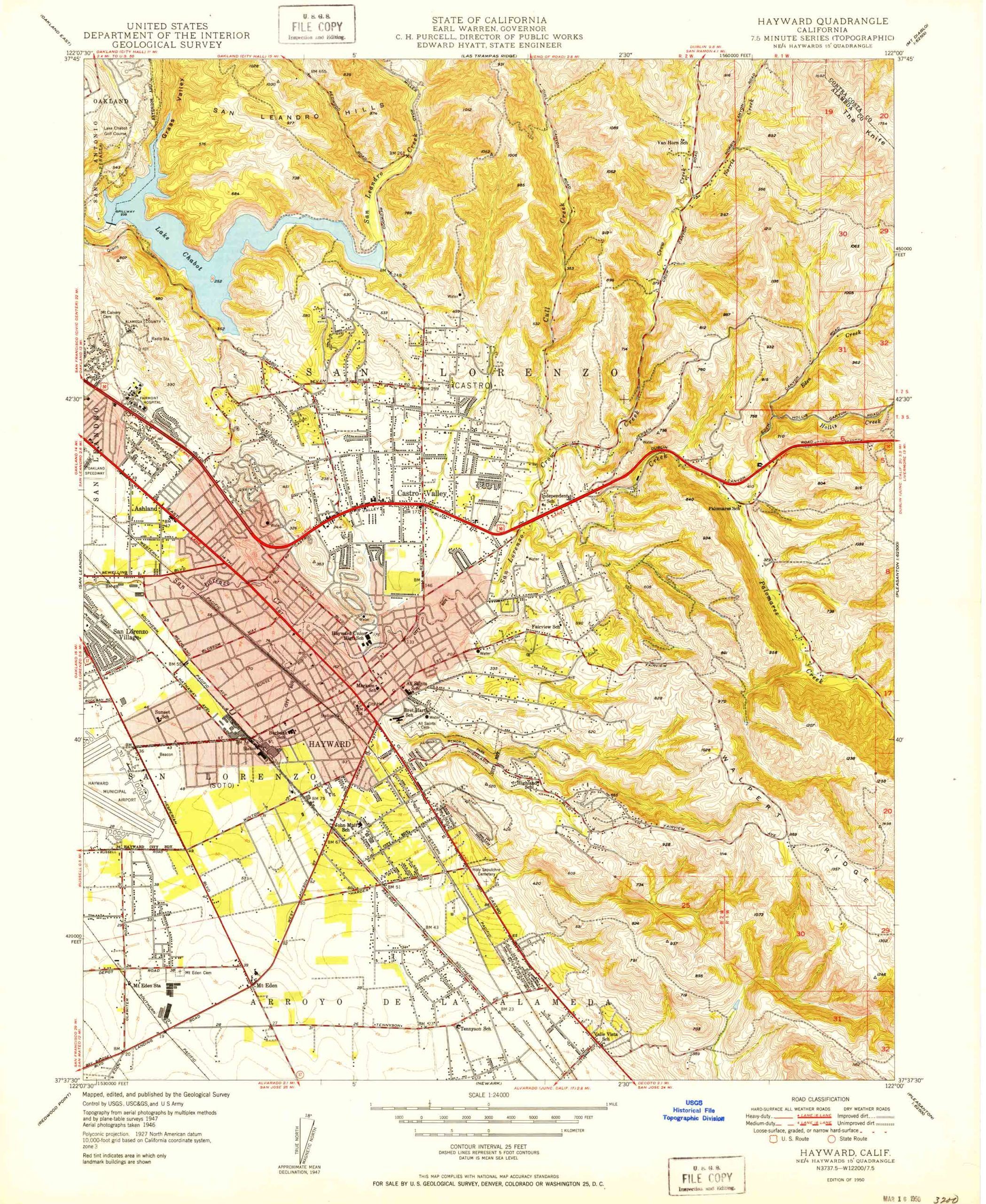
5 US Geological Survey. California: Hayward Quadrangle. 1:24000-scale. US Geological Survey, 1950.
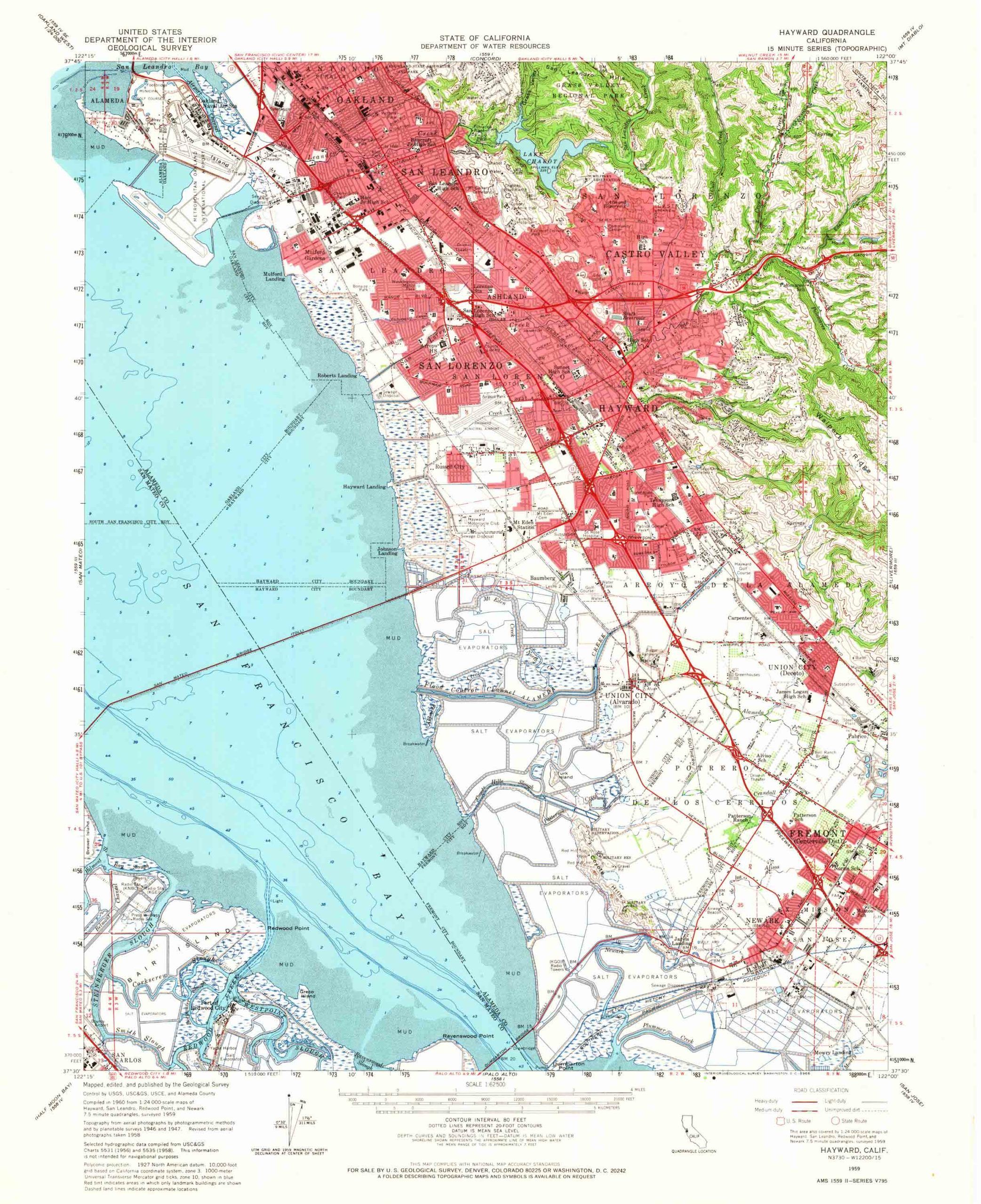
6 US Geological Survey. California: Hayward Quadrangle. 15-minute series quadrangle, 1:62500-scale. US Geological Survey, 1959.
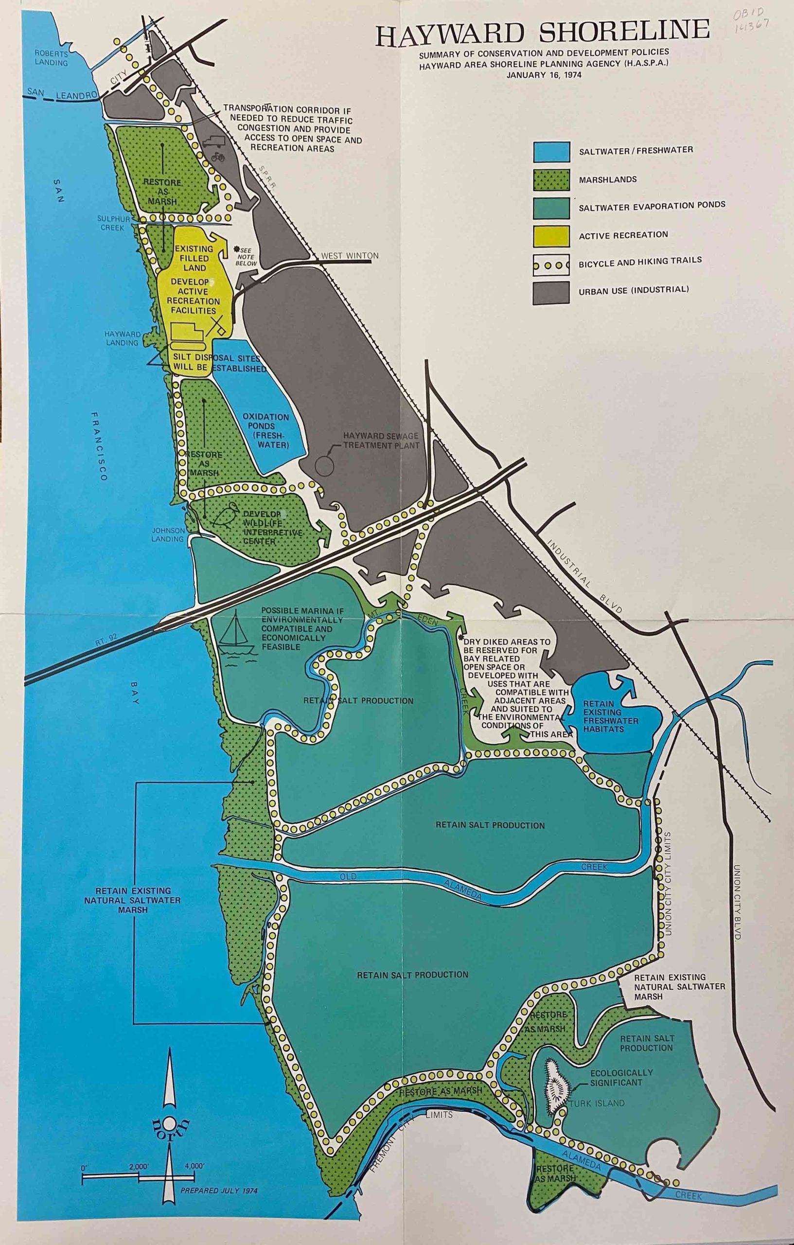
7 Hayward Area Shoreline Planning Agency. Hayward Shoreline: Summary of Conservation and Development Policies. Hayward, CA: HASPA, January 16, 1974. Hayward Area Historical Society.
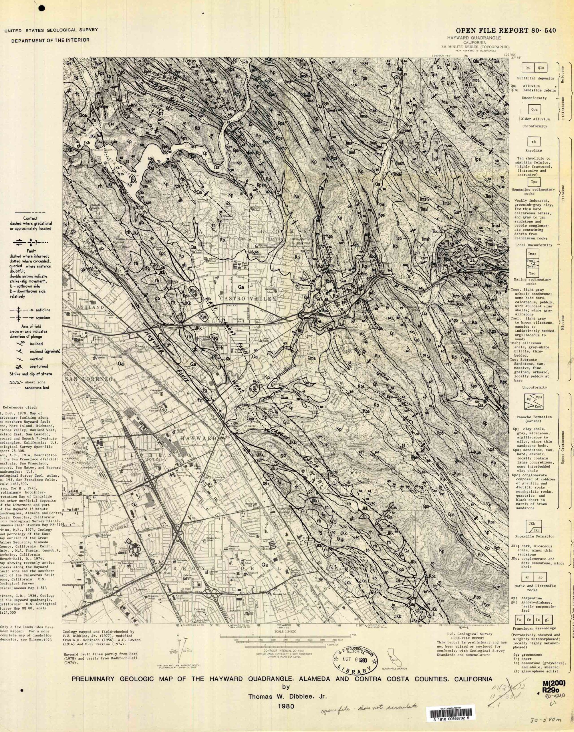
8 Dibblee, Thomas W., Jr. Preliminary Geologic Map of the Hayward Quadrangle, Alameda and Contra Costa Counties, California. 7.5-minute series, 1:24,000. US Geological Survey, 1980.
9 US Geological Survey. California: Hayward Quadrangle. 7.5-minute series, 1:24,000. US Geological Survey, 1993.
10 US Geological Survey. California: Hayward Quadrangle. 7.5-minute series, 1:24,000. US Geological Survey, 2021.
